 Top: A strath terrace along the Wind River, Wyoming. Bottom: A meandering river and terraces in a numerical model.
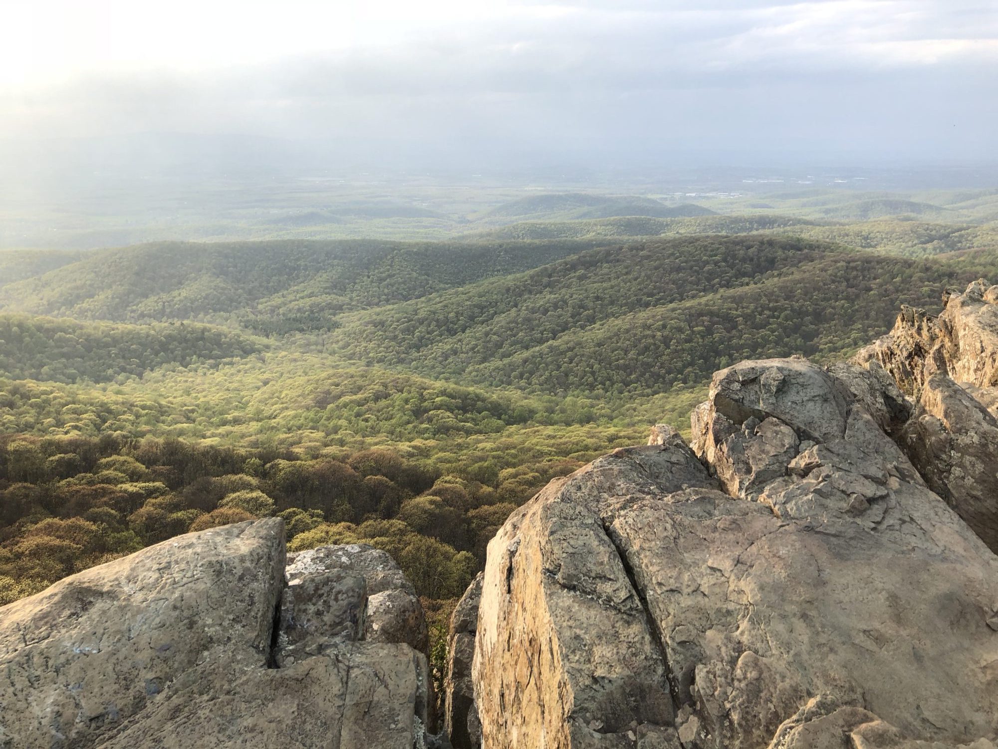
Bedrock valley shapes—from slot canyons with incised meanders to wide valleys with strath terraces—can record environmental history, including changes in climate, tectonics, and sea-level. Yet processes of erosion and deposition intrinsic to river systems also shape valleys, independent of changes in external forcing. I use forward modeling to test hypotheses for valley development over millennial timescales, and compare model predictions to natural river valleys. By quantifying how channels develop valleys under steady forcing, this work has yielded a new framework for distinguishing valley forms with significance for interpreting regional geologic history.
Related papers:
- Limaye, A. B. S., and Lamb, M. P., 2016, Numerical model predictions of autogenic fluvial terraces and comparison to climate change expectations, Journal of Geophysical Research – Earth Surface 121, doi:10.1002/2014JF003392. [PDF] [Movie] [Eos]
- Limaye, A. B. S., and Lamb, M. P., 2014, Numerical simulations of bedrock valley evolution by meandering rivers with variable bank material, Journal of Geophysical Research – Earth Surface, doi:10.1002/2013JF002997. [PDF] [Eos]